Love the idea of waking up to wide Mississippi River views in Champlin but not sure what it really takes to buy along the water? You are not alone. Riverfront living blends day-to-day convenience with unique rules, maps, and seasonal rhythms that you will want to understand before you write an offer. In this guide, you will learn how public access and boat slips work, how to read flood maps and the MRCCA overlay, what streets and parks shape the river corridor, and how to think about pricing. Let’s dive in.
Mississippi access and boating
Public launches and slips
Champlin gives you practical river access through Mississippi Point Park and the Mississippi Crossings riverfront area. The city runs a seasonal slip program at Mississippi Crossings that uses a resident lottery and lease model with rules on eligibility, insurance, and boat size. Review the city’s current public docks and slip program to see season dates and how the lottery works.
If you want a slip, plan ahead. City paperwork has historically limited moored watercraft to about 24 feet and to motorboats, with the season running roughly late May through mid-October. Annual details can change, so check the latest watercraft slip lottery rules before you apply or buy.
Boater basics and AIS
Mississippi Point Park is one of the busier public launches in Hennepin County. You will see signage and CD3 Clean-Drain-Dry stations that support aquatic invasive species prevention. County observations show notable boater use here, so follow CD3 best practices highlighted in the Hennepin County AIS report whenever you launch or return.
Parks, trails and events
Champlin is actively programming the riverfront through Mississippi Crossings, with a public plaza, docks, and a summer events series that make the area lively in season. The corridor also connects into regional trail systems, including the nearby Mississippi Gateway Regional Park, giving you longer bike and walk routes along the river. Expect a recreation-forward lifestyle where you can enjoy the water even if your property does not have private access.
Flood risk and permits
FEMA maps and Elm Creek LOMR
Start with the maps. Plug the property address into the FEMA Flood Map Service Center to see its flood zone and whether lender-required flood insurance could apply. Champlin completed Elm Creek flood-reduction work that led to a Letter of Map Revision effective in 2018, which removed some acreage and homes from the mapped floodplain. You can review the city’s guidance and LOMR context on Champlin’s floodplain information page and then confirm the status for the exact address.
Even when a lot sits outside a Special Flood Hazard Area, seasonal highs can still affect parks, ramps, and low-lying areas. In April 2023, for example, the Mississippi spilled its banks and inundated Mississippi Point Park, as reported by CBS Minnesota. Plan for variability in river levels across spring and early summer.
MRCCA overlay rules
Champlin administers the Mississippi River Corridor Critical Area (MRCCA), which adds shoreline setbacks and vegetation standards to protect views, habitat, and water quality. The exact district on your parcel matters. As a general guide in Champlin, CA-RN (River Neighborhood) areas often have about a 100-foot setback from the Mississippi and 40 feet from the bluffline. CA-RTC (River Towns & Crossings) areas commonly have about a 75-foot setback, and CA-ROS has larger setbacks around 200 feet. Always verify the parcel’s district and numbers in the city’s MRCCA information and the adopted MRCCA ordinance before planning any project.
Shoreline hardening, ramps, stairways, or structures near the ordinary high water level often require permit review. If you are considering shoreline work, bring the MRCCA rules into your due diligence early so you can plan timeline, scope, and costs.
Flood insurance steps
Whether flood insurance is required depends on the FEMA zone and your lender. Here is a simple path:
- Run the address in the FEMA map viewer and save a copy of the map.
- Ask your lender for a formal flood determination early in financing.
- If the home is near or in a mapped zone, order or request an elevation certificate to clarify risk and premiums.
- If a past LOMR or LOMA applies, ask the city or seller for documents so you and your insurer can interpret current status.
Neighborhood and streets
Key riverfront streets
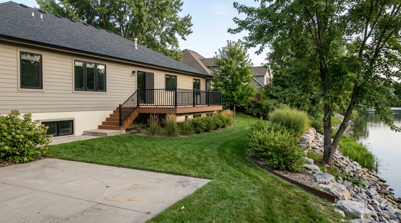
The river corridor in Champlin includes East River Parkway, River Parkway East and West, and West River Road. Parcels near the water often sit on bluffs or terraces, which can mean elevated views in some spots and steeper lots in others. Walk the block to understand grade, access, and how close public spaces are to your front door.
Parks and trail links
Public open space is a defining feature. Mississippi Point Park anchors a lot of river activity, and the regional trail connections near Mississippi Gateway create a continuous experience along the river. This mix of public space and private property shapes views, privacy, and how you use the river day to day.
Terrain and seasons
Expect a blend of mature trees and filtered views from bluff-top homes, with stair or ramp access to lower terraces in certain locations. Low-lying park and ramp areas feel more open but are also the first to see high water during wet springs. These seasonal realities are part of the charm and the planning for river living.
Housing and pricing context
Home types you will see
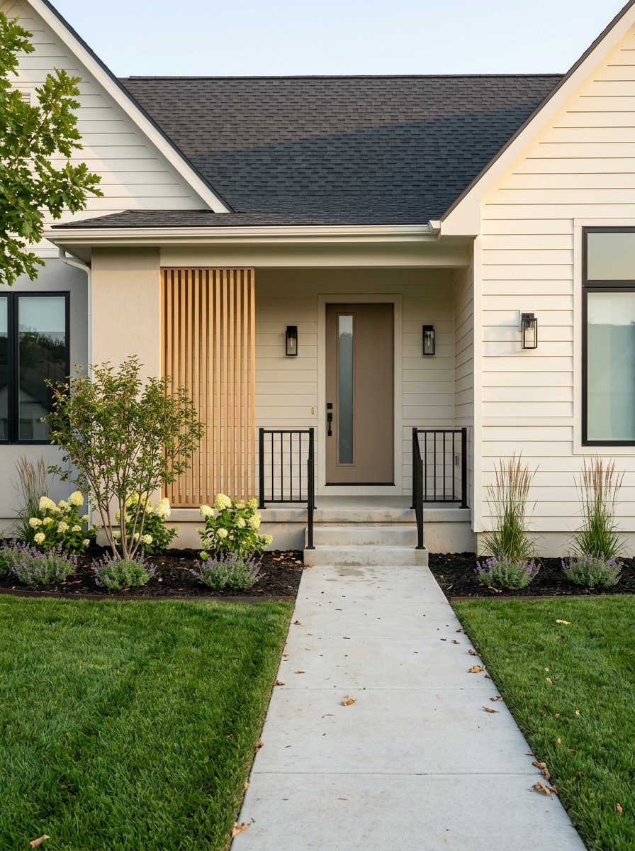
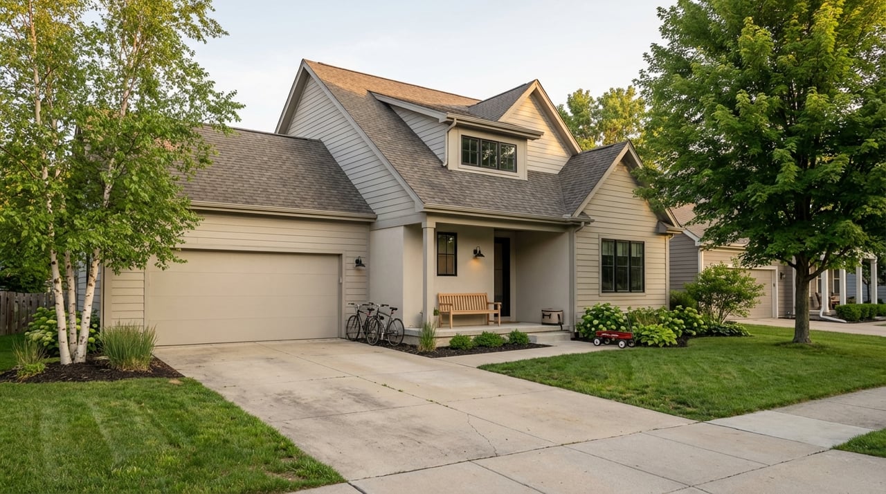
Homes along the Champlin river corridor span eras and styles. You will find mid-century ramblers and split-levels, two-story and Cape Cod–style homes on larger lots, and newer waterfront development near Mississippi Crossings, including apartments and condos. Many single-family river properties feature walkout basements, large decks, and lots that step toward the water.
How to read market data
Public portals often report different market snapshots because each uses a unique method and time window. That can create very different numbers when you compare median sale price, a home-value index, or a ZIP code median. Treat those as general context. For a specific riverfront property, the right approach is to look at recent comparable sales for similarly sited lots and views in the immediate micro-area.
What drives price premiums
Waterfront is scarce, and buyers value direct frontage, private views, and access. Homes with true river frontage typically sell at a premium to broader city or ZIP medians. Homes with views but no frontage often see a smaller premium. Newer amenity-driven multifamily can offer river access with less maintenance, which suits some buyers who prioritize convenience and on-site amenities.
Buyer checklist
Documents and map checks
- Run the address in the FEMA Flood Map Service Center and ask the city about any LOMR or floodplain changes listed on Champlin’s floodplain page.
- Confirm whether the parcel sits in an MRCCA district and which sub-district applies. Start with the city’s MRCCA information and ordinance for district rules and setbacks.
Inspections, insurance and lender checks
- Book a home inspection that pays extra attention to basements, water management, slopes, erosion, and foundations on bluff-edge lots.
- If near a mapped flood zone, request or order an elevation certificate and get flood insurance quotes from both NFIP and private carriers.
- Have your lender run a formal flood determination early in the process.
Permits and shoreline or dock plans
- Ask the seller and city whether past shoreline work, ramps, or docks were permitted, and whether any open items remain.
- If you want a slip without private dock work, review the city’s public docks and slip program and the current lottery rules for eligibility and timing.
Seasonal and lifestyle planning
- Expect a seasonal boating window from spring thaw into mid-fall and occasional high-water closures of low-lying parks and ramps in wet years. Recent high-water events, such as the April 2023 inundation of Mississippi Point Park noted by CBS Minnesota, are helpful context when you plan storage, access, and landscaping.
- Follow Clean-Drain-Dry protocols at the public launch as recommended in the Hennepin County AIS report.
Your next step
If river views and a Champlin address are on your wishlist, you deserve a clear plan. From flood maps and MRCCA rules to comps and offer strategy, you will move faster and with more confidence when you have a guide who knows the details. Ready to explore the right stretch of river for you and line up the due diligence that protects your purchase? Reach out to Siham Mahamood for a friendly, step-by-step path to riverfront living.
FAQs
How do Champlin’s public slips work at Mississippi Crossings?
- The city runs a seasonal resident lottery and lease program with eligibility, insurance, and vessel length rules; review the latest details on the public docks and slip program and current lottery rules.
How can I check if a Champlin river home needs flood insurance?
- Enter the address in the FEMA Flood Map Service Center and ask your lender for a flood determination; if the home is near a mapped zone, get an elevation certificate and insurance quotes.
What is the MRCCA and why does it matter in Champlin?
- The MRCCA is a state-managed river corridor overlay with local rules for setbacks, vegetation, and land alteration; check Champlin’s MRCCA information and the ordinance to see how it applies to your parcel.
Are there seasonal flooding concerns on the Mississippi in Champlin?
- Yes, water levels vary seasonally; parks and low-lying access points can flood in wet springs, as seen in April 2023 when Mississippi Point Park was inundated per CBS Minnesota.
Where can I access regional trails near Champlin’s riverfront?
- You can connect to the corridor at Mississippi Gateway Regional Park, which links to longer bike and walking routes along the river.