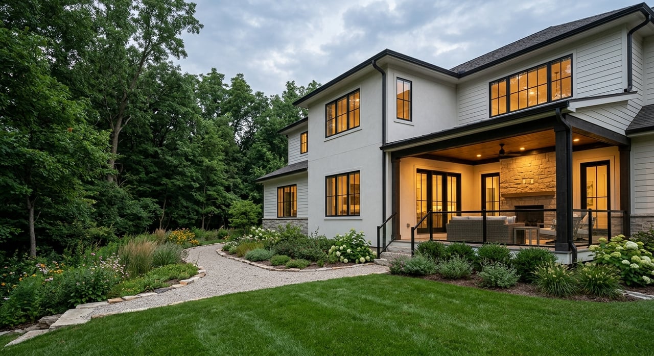
If you are searching for a Twin Cities suburb with more than just rooftops and roads, Dayton deserves a closer look. This is a place where local parks, regional trails, and Mississippi River access all shape daily life in a very real way. Whether you are thinking about moving to Dayton or simply want to understand what living here feels like, this guide will walk you through the parks, trails, river access, and housing patterns that define the city. Let’s dive in.
Why Dayton Stands Out Outdoors
Dayton has a strong outdoor identity for a city its size. The city says it has 18 parks and facilities across 143 park acres, with space that supports hiking, biking, boating, and wildlife observation throughout the year.
That local park system is only part of the story. Dayton is also home to a major share of Elm Creek Park Reserve, which the city describes as covering about one-third of Dayton and spanning 4,900 acres. That gives you access to both neighborhood-scale recreation and one of the largest outdoor destinations in the region.
Dayton Is a River Town, Park Suburb, and Trail Hub
One of the most common questions buyers ask is what kind of lifestyle Dayton actually offers. Based on the city and park district information, the best answer is that Dayton is all three at once.
You have the Mississippi River running along the city, a network of local parks spread throughout the community, and a growing regional trail system that ties Dayton to nearby cities and recreation areas. That mix creates a lifestyle that can feel active, scenic, and flexible without being one-dimensional.
Parks to Know in Dayton
Dayton’s park list includes both activity-focused parks and spots with river connections or overlooks. If you are getting to know the city, a few names come up often.
River-Adjacent Dayton Parks
Several city parks connect to the river setting in different ways. The city identifies Elsie Stephens Park, Goodin Park, Cloquet Overlook Park, and Sue McLean Park as river-view or river-adjacent locations.
These parks help define Dayton’s identity, but it is smart to keep expectations realistic. River access and river views are not the same thing, and in some areas vegetation or nearby private property can limit direct sightlines to the water.
Activity Parks Around Town
Dayton also has parks that support everyday neighborhood recreation. The city’s park system includes places like River Hills, Riversbend, and Old Orchards, which add to the broader mix of outdoor options.
For buyers, that matters because lifestyle in Dayton is not centered on a single destination. Instead, the city offers a combination of local parks for routine use and larger regional amenities for bigger outings.
Mississippi River Access in Dayton
If you want to boat, paddle, or launch a canoe, it helps to know what is available now and what is still in planning. That distinction is important in Dayton.
Current Boat and Canoe Access
According to the Minnesota DNR, Dayton’s public access is at river mile 879 at the mouth of the Crow River, off North River Road. The DNR says this access includes an access lot, boat ramp, canoe launch, and restrooms.
For many residents, this is the key launch point to know today. If river recreation is a big part of your lifestyle, this existing public access is one of the most practical features to ask about when exploring the area.
Future Water Trail Access Plans
The city is also developing a water trail intended to provide safe, ADA-compliant access to the Mississippi River. The identified landing sites are Elsie Stephens Park, Goodin Park, and the DNR landing in the Historic Village.
The city says this effort involves partnerships with the DNR, the National Park Service, and Three Rivers Park District. For now, though, it is best to treat these as planned improvements rather than assume every landing is already built and available.
Check Conditions Before You Go
The Minnesota DNR identifies the Mississippi River as a state water trail with mapped Minnesota segments. It also points paddlers and boaters to river maps, safety rules, and river levels.
In simple terms, conditions can change. Before you head out, it is wise to check current river information so you know what to expect that day.
Trails and Biking in Dayton
For many buyers, the trail system is just as important as the parks. Dayton has both local connections and a larger regional trail story that continues to grow.
West Mississippi River Regional Trail
The West Mississippi River Regional Trail is an official Three Rivers Park District corridor that currently connects North Minneapolis, Brooklyn Center, and Brooklyn Park. It is planned to extend north through Champlin and Dayton and eventually connect with the Medicine Lake Regional Trail and the Crow River and Wright County network.
Three Rivers’ Dayton-area plan describes a 6.1-mile Dayton segment with both existing and future construction pieces. That makes Dayton especially interesting for buyers who value long-term trail connectivity and want a location tied into a broader recreation network.
Scenic But Not Constant River Views
The Dayton River Road corridor is described in the trail plan as scenic, with larger-lot residential and agricultural character in some stretches. At the same time, the plan notes that dense vegetation can limit direct river views.
That is useful context if you are house hunting with a specific picture in mind. A home or trail near the river may offer proximity to the landscape without promising open water views at every point.
Elm Creek Park Reserve Lifestyle
If Dayton has one outdoor asset that changes the lifestyle equation, it is Elm Creek Park Reserve. This park reserve is a major reason many buyers see Dayton as more than a typical suburb.
Warm-Weather Recreation at Elm Creek
Three Rivers says Elm Creek offers 20 miles of paved trails along with hiking routes through woodlands, wetlands, and old farm fields. The reserve also connects Dayton with Champlin, Maple Grove, Rush Creek Regional Trail, and Medicine Lake Regional Trail.
For cyclists and adventure-focused residents, Elm Creek also includes 12.7 miles of singletrack mountain bike trail. That gives you a mix of casual paved riding and more technical terrain in one connected park system.
Winter Recreation at Elm Creek
Dayton’s outdoor appeal does not stop when the weather turns. Elm Creek’s Winter Recreation Area includes a lighted tubing hill with lifts and snowmaking, a beginner downhill ski and snowboard hill, and almost 18K of cross-country ski trails.
Three Rivers also notes groomed classic and skate ski trails, some lit routes, and manufactured snow for a longer season. If you want a suburb where winter feels active rather than limiting, this is one of Dayton’s biggest advantages.
What Homes Near Amenities Look Like
When buyers picture living near parks or the river, they often want to know what the housing patterns actually look like. In Dayton, the answer is varied.
Residential Options in Dayton
Dayton’s 2040 comprehensive plan shows a broad residential mix. The city identifies low-density neighborhoods, large-lot single-family and estate-style areas, and medium-density and high-density residential zones.
That means you are not limited to one type of setting. Depending on where you look, you may find homes in quieter low-density pockets, properties along river road corridors, or housing closer to more compact village-style areas.
Historic Village Setting
The city describes the Historic Village as a compact, walkable area with river views and a mix of cultural, historical, residential, and commercial retail uses. It is also an area where residential redevelopment is planned immediately within or next to the Historic Village Area.
For buyers who like a more connected setting, this part of Dayton may feel different from the city’s larger-lot residential areas. It adds another layer to Dayton’s identity and gives the market more variety.
Best Ways to Describe Dayton Home Settings
The most accurate way to talk about Dayton real estate is with location-based, descriptive language. Examples include river-road properties, historic-village homes, low-density residential pockets, and homes near the Elm Creek and park-reserve trail network.
That kind of framing gives you a clearer picture of lifestyle than broad labels alone. It also reflects how the city’s planning documents describe the community.
Who Might Love Dayton’s Outdoor Lifestyle
Dayton may be a strong fit if you want your daily routine to include easy access to parks, trail systems, and river recreation. It can also appeal to buyers who want a suburban setting with a little more landscape variety than a standard subdivision pattern.
You may especially appreciate Dayton if you value:
- Local parks spread across the city
- Access to Elm Creek Park Reserve
- Mississippi River boating or paddling opportunities
- Planned trail growth and regional connections
- A mix of home settings, from larger-lot areas to the Historic Village context
What to Keep in Mind as You Explore Dayton
Outdoor access is one of Dayton’s biggest strengths, but it helps to be precise. Not every river-adjacent area guarantees open views, and not every planned landing or trail segment is complete today.
That is why local guidance matters when you are buying or selling here. A clear, process-driven approach can help you match the right home setting to the lifestyle you actually want, whether that means river access, trail proximity, or a quieter residential pocket near parks.
If you are considering a move in Dayton or want help understanding which part of the city best fits your goals, Siham Mahamood can help you navigate the process with clear guidance and local insight.
FAQs
Where can you launch a boat or canoe in Dayton, MN today?
- The current public access identified by the Minnesota DNR is off North River Road at the mouth of the Crow River, with an access lot, boat ramp, canoe launch, and restrooms.
What Mississippi River access is planned in Dayton, MN?
- The city says it is developing a water trail with safe, ADA-compliant access at Elsie Stephens Park, Goodin Park, and the DNR landing in the Historic Village.
What makes Dayton, MN different from other Twin Cities suburbs?
- Dayton combines a local park system, major access to Elm Creek Park Reserve, Mississippi River recreation, and a growing regional trail network.
Does living near the river in Dayton, MN guarantee river views?
- No. Three Rivers planning documents note that dense vegetation and private residential properties can limit direct river views in some areas.
What trails connect through Dayton, MN?
- The West Mississippi River Regional Trail is planned to extend through Dayton, and Elm Creek connects with trails serving Dayton, Champlin, Maple Grove, Rush Creek Regional Trail, and Medicine Lake Regional Trail.
What types of homes can you find near parks in Dayton, MN?
- Dayton’s planning documents describe a mix that includes low-density neighborhoods, large-lot single-family and estate-style areas, medium-density and high-density zones, historic-village homes, and homes near the Elm Creek trail network.